| Western River Permit Information |
Green River below Flaming Gorge
Dam, Sections A, B and C Recreation.gov - Float-in Camp Sites on Green River National
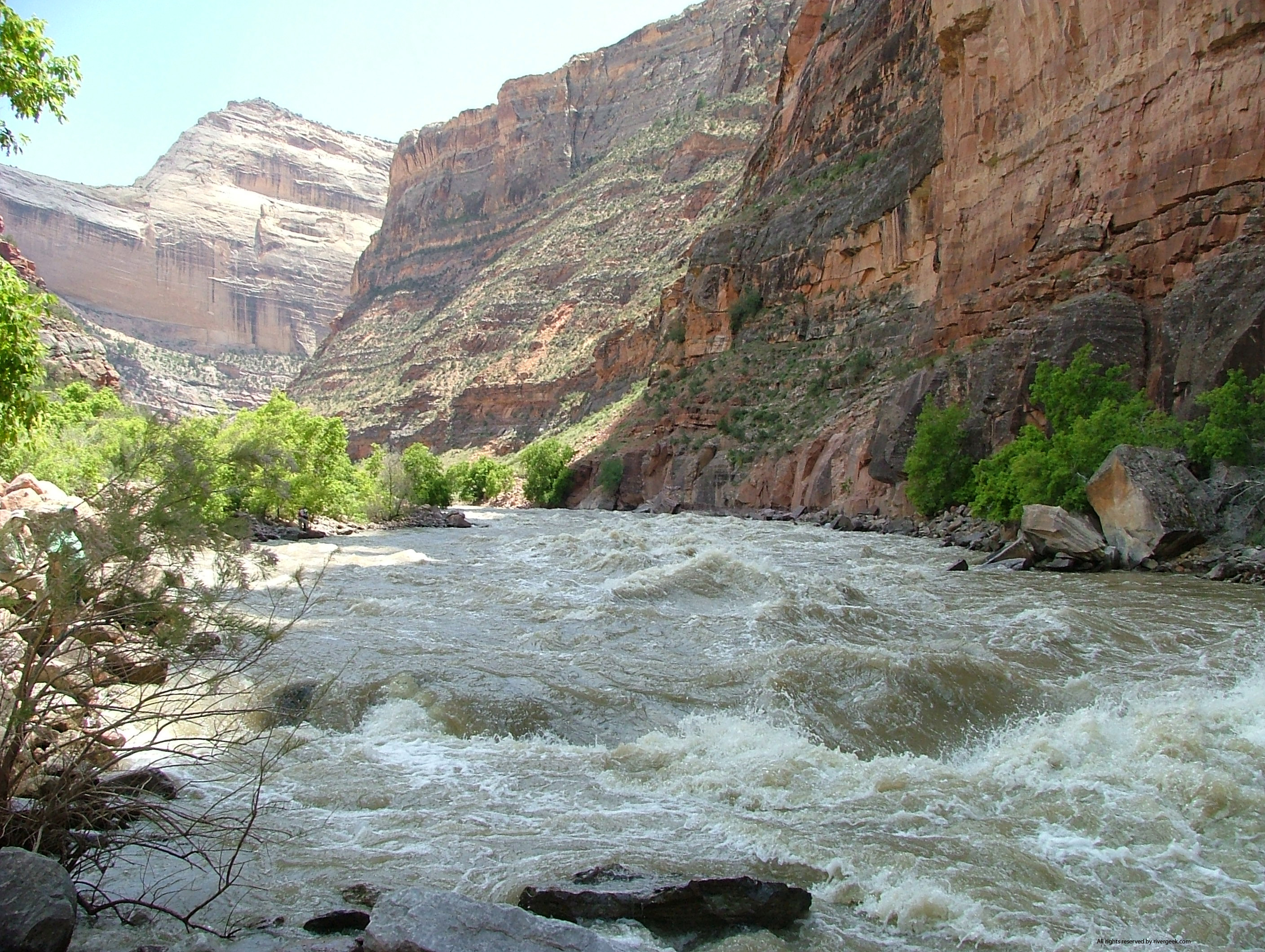
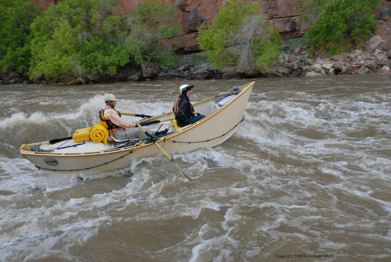
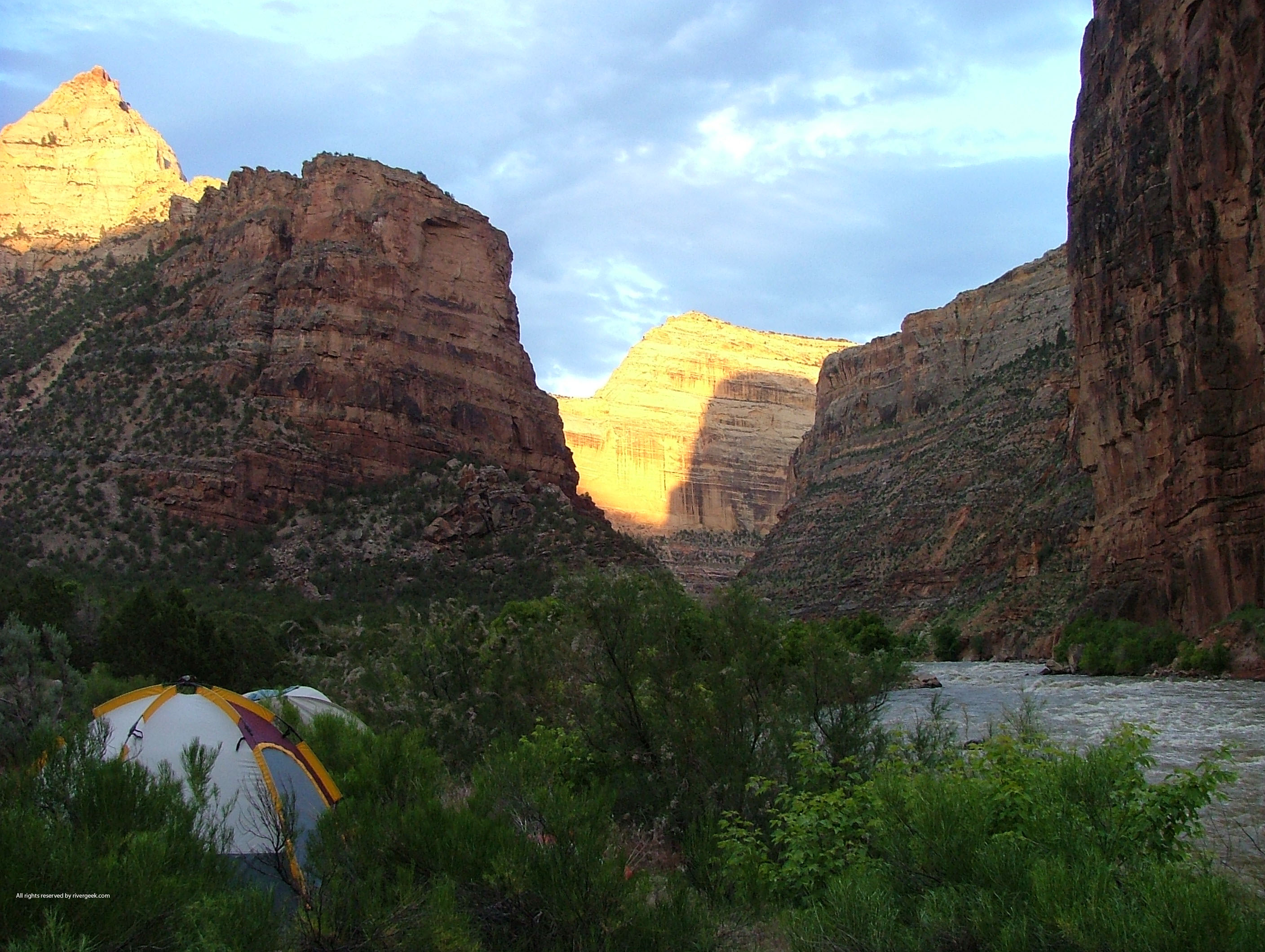
Forest Service - Ashley National Forest No permits required on Sections A, B or C - aproximately 30 miles from Flaming Gorge Dam to the Colorado state line. No camping on Section A. River camping on Section B is by self registration at Little Hole. Some of the best flyfishing in the US. Catch & release recommended. Mostly Class II with a Class III, III+ at Red Creek on Section B. To reserve Section B camps call 877-444-6777 and/or check out: River Camp Sites Green River, Canyon of Lodore (970) 374-2468 Lodore Ranger Station to Split Mountain is ~44 miles. Lottery applications accepted December 1st through January 31st. (Lottery via recreation.gov) Green River, Desolation/Gray Canyons (435)636-0975 95 miles of intermediate whitewater from Sand Wash to Green River State Park. Lottery applications accepted December 1st through January 31st. (Lottery via recreation.gov) Yampa River (970) 374-2468 ~71 miles from Deer Lodge Park on Yampa to Split Mountain
Campground. Lottery applications accepted November 3rd through January 31st. Dolores River
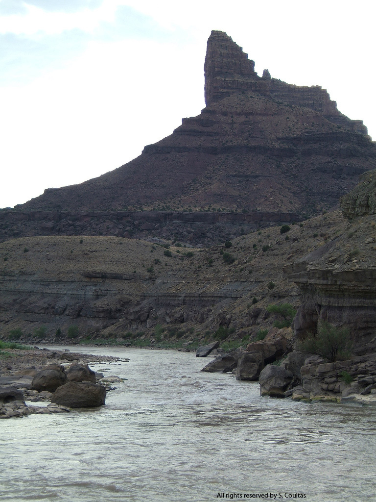
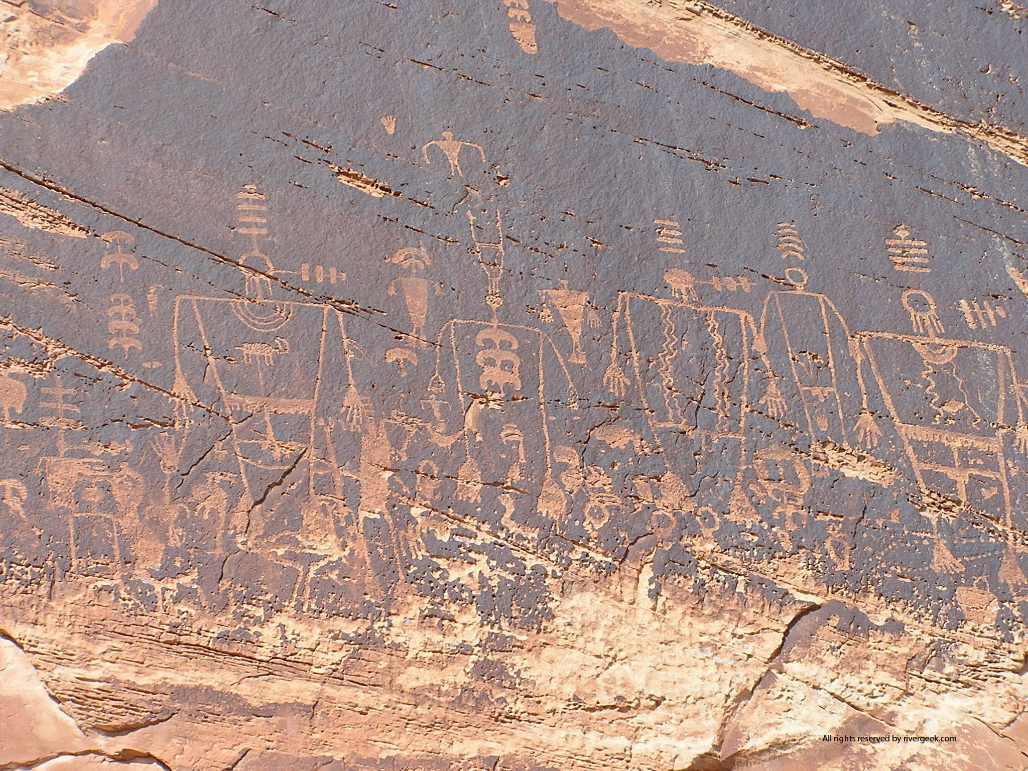
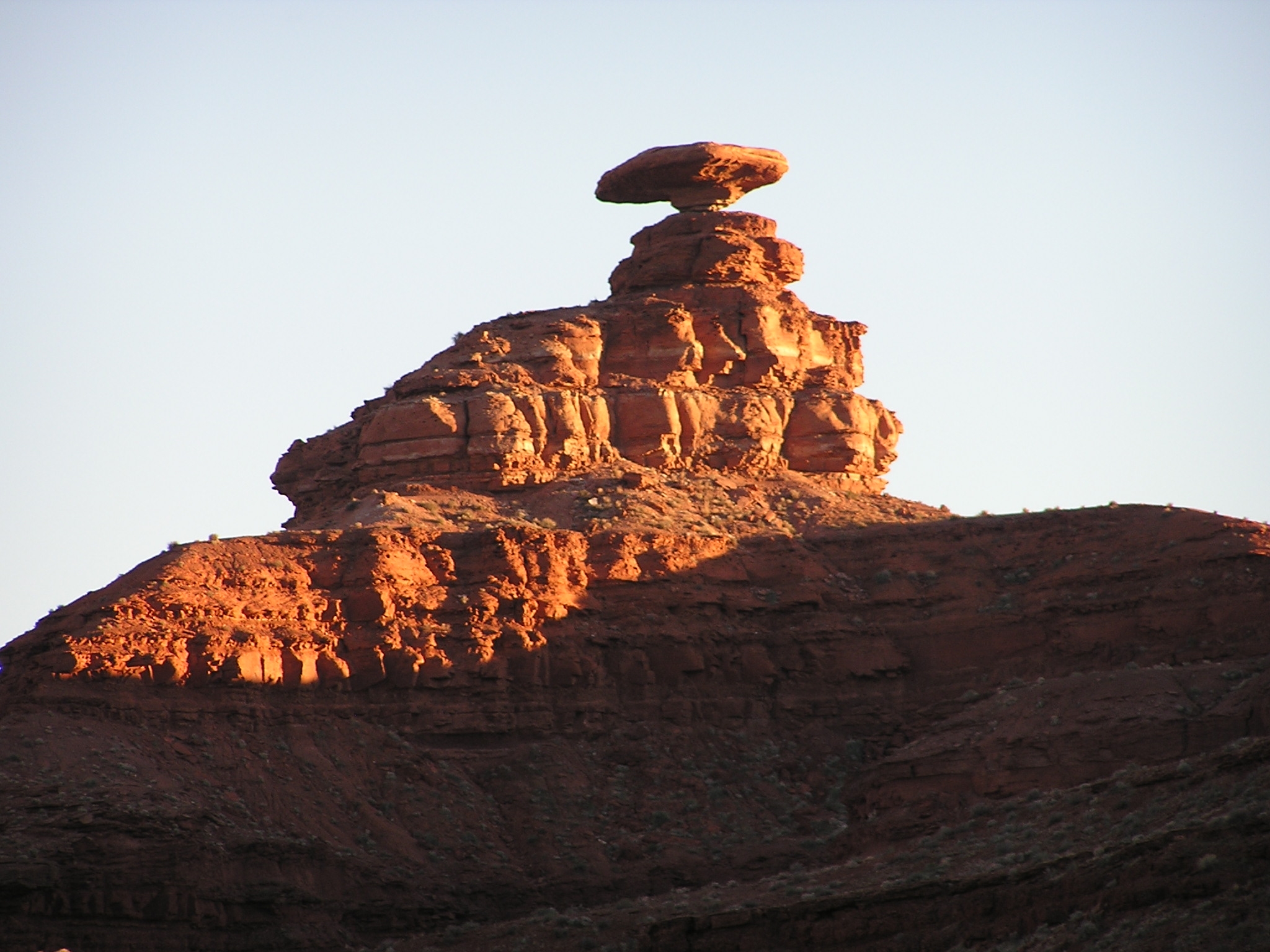
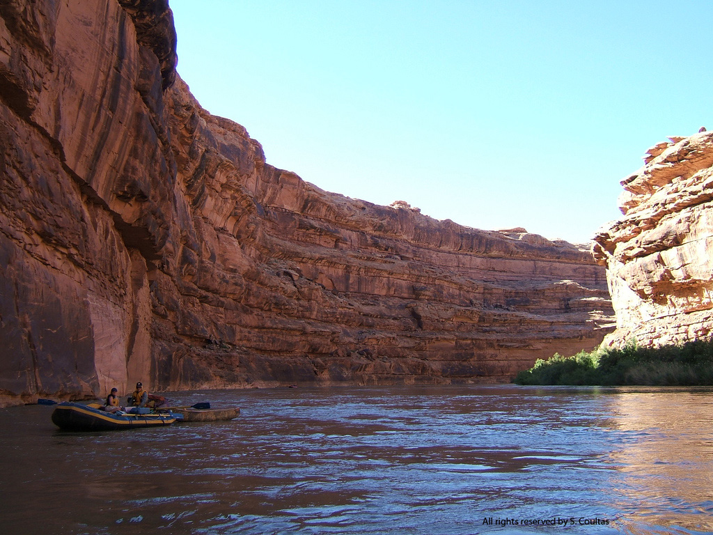
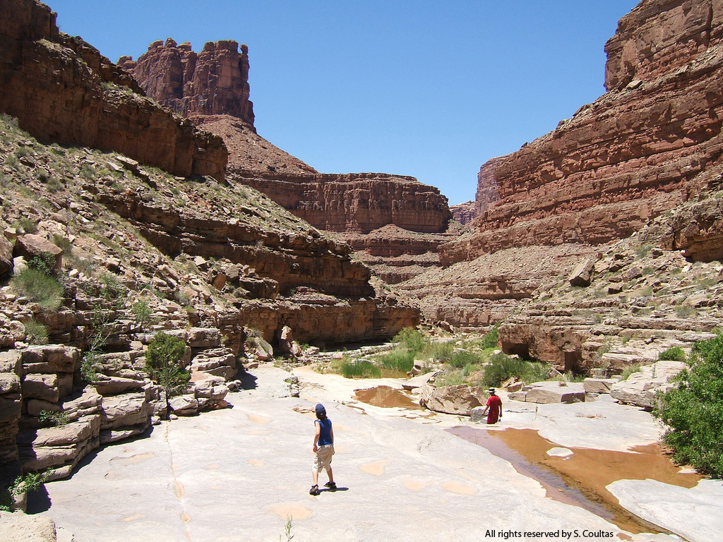
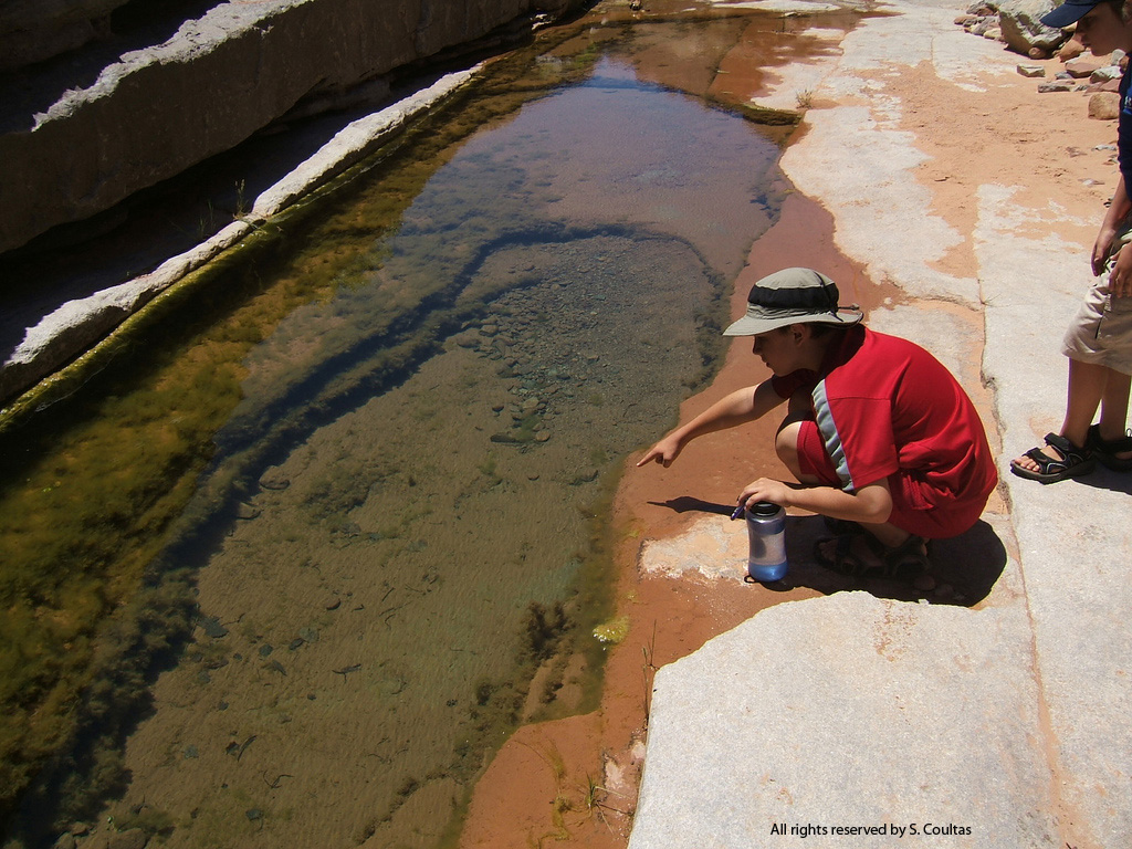
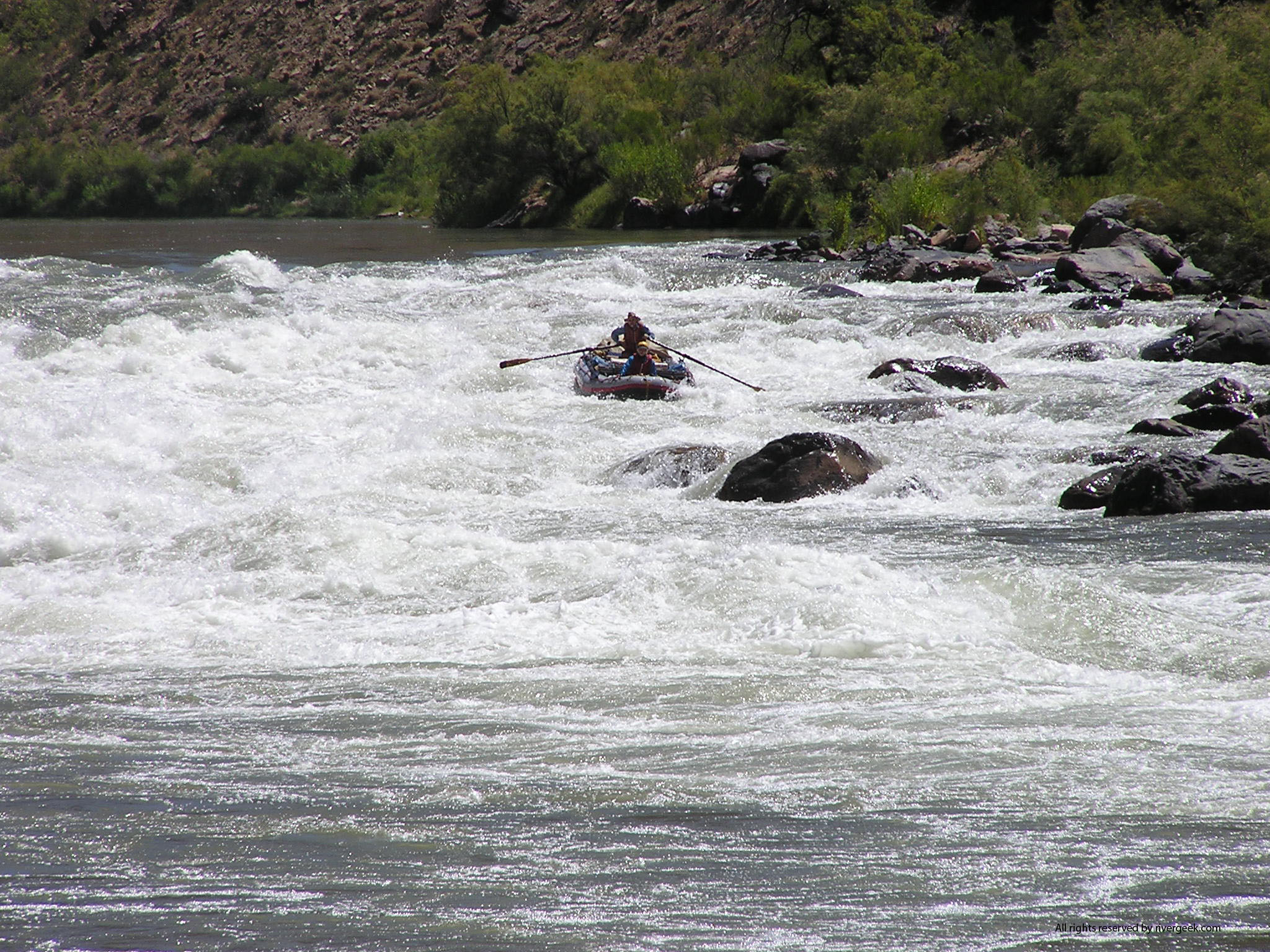
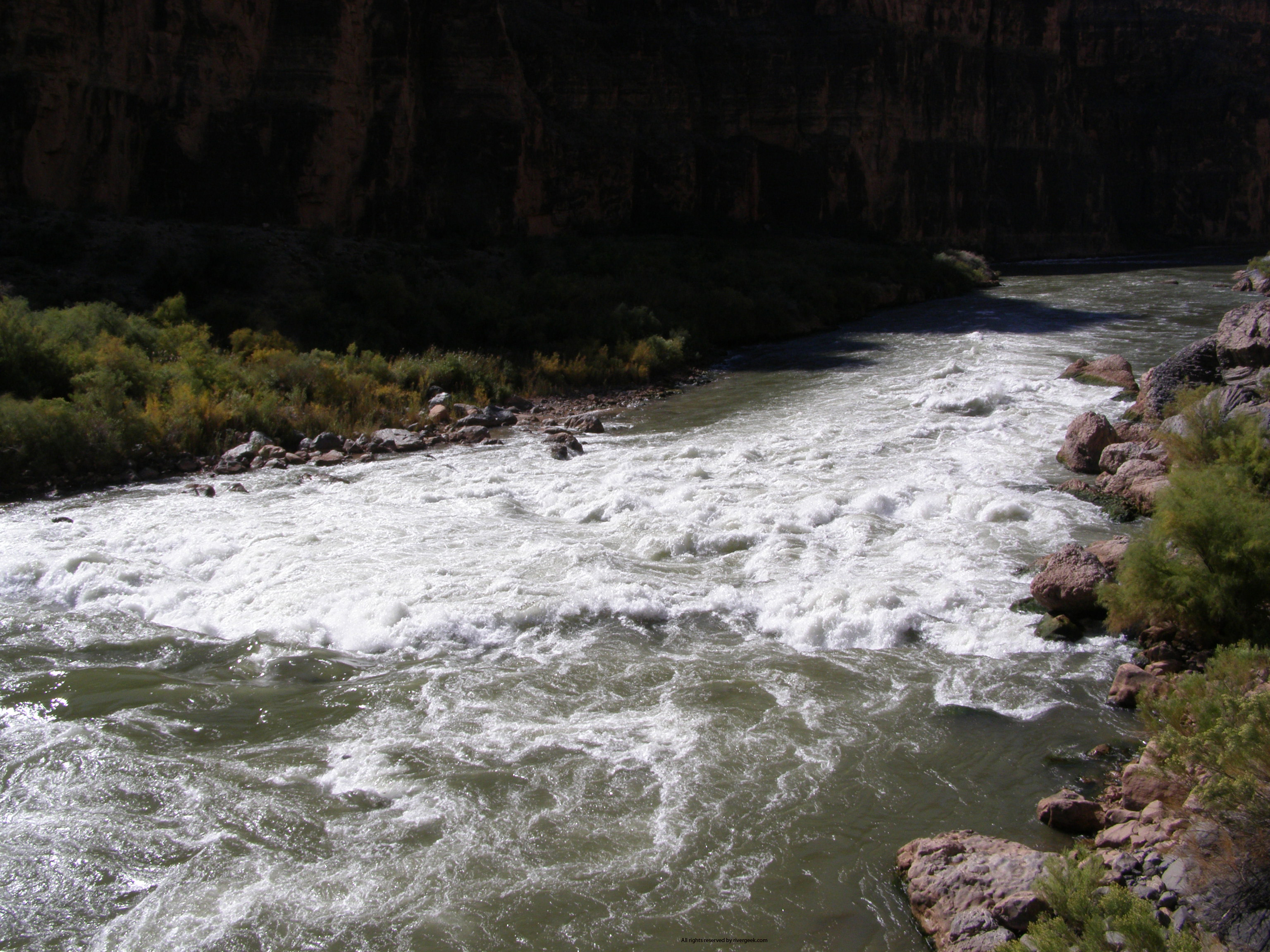
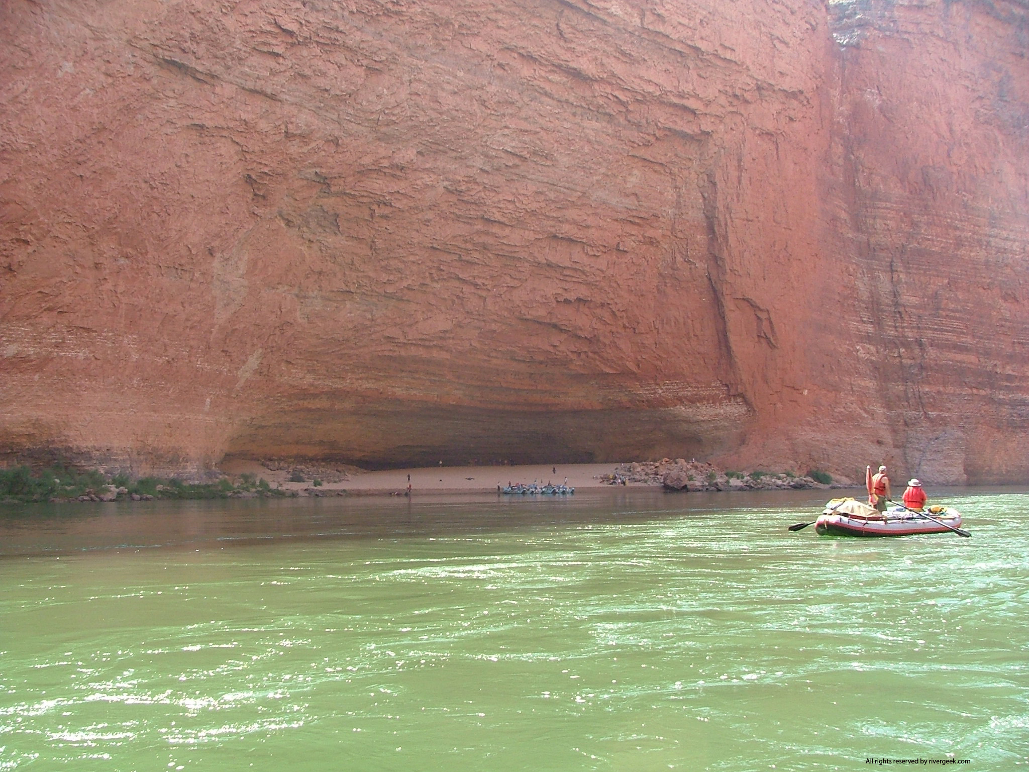
(435)259-7012 Nearly 200 miles from Cahone to Moab. First takeout at Slickrock. Self-permitting from below McPhee Reservoir in Colorado. Very limited season. Colorado River, Cataract Canyon (435)259-4351 Colorado River, Westwater Canyon (435)259-7012 17 miles of technical whitewater from the Westwater Ranger Station to Cisco. Day trips as well as overnighters are done. Launches become available 2 months prior to the launch date. You can acquire any launch dates available within the two-month period. Launches are issued on a first-come, first-served basis using the telephone. Between April 1st and September 30th, private use is limited to five permits or 75 people (whichever occurs first) per day; commercial use is limited during this period to 75 passengers per day. Some folks extend it with a permit-free run thru Horsethief and Ruby Canyons and enter Westwater on launch day. San Juan River (435)587-1544; Leave a message at 435-587-1511 84 miles of fast moving intermediate whitewater from Bluff to Clay Hills. Lottery applications should be available in December, deadline for submission is February 1. Colorado River, Grand Canyon 1-800-959-9164 Call the River Permits Office at the numbers above for permits on the section of Colorado River below Diamond Creek.
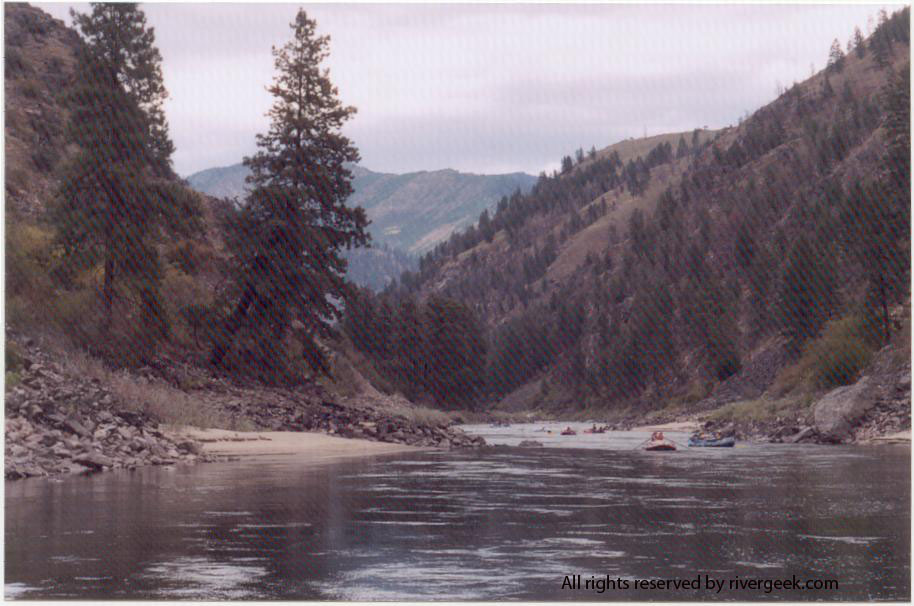
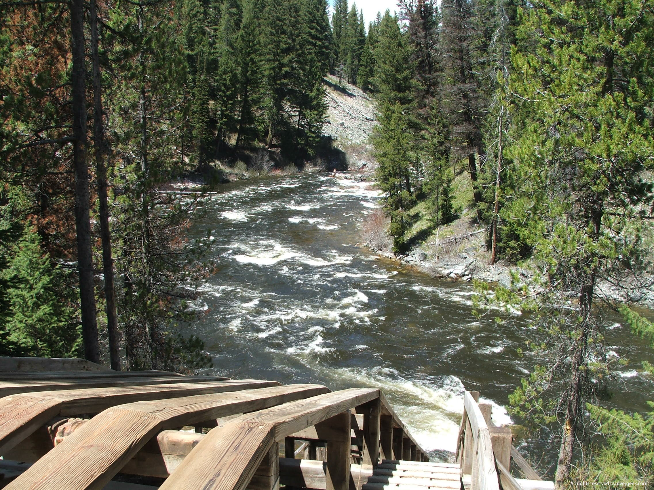
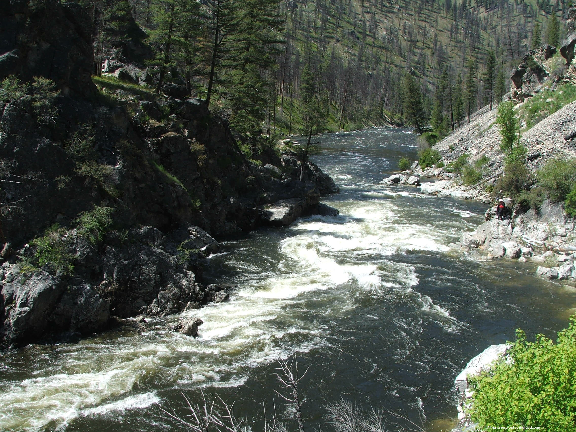
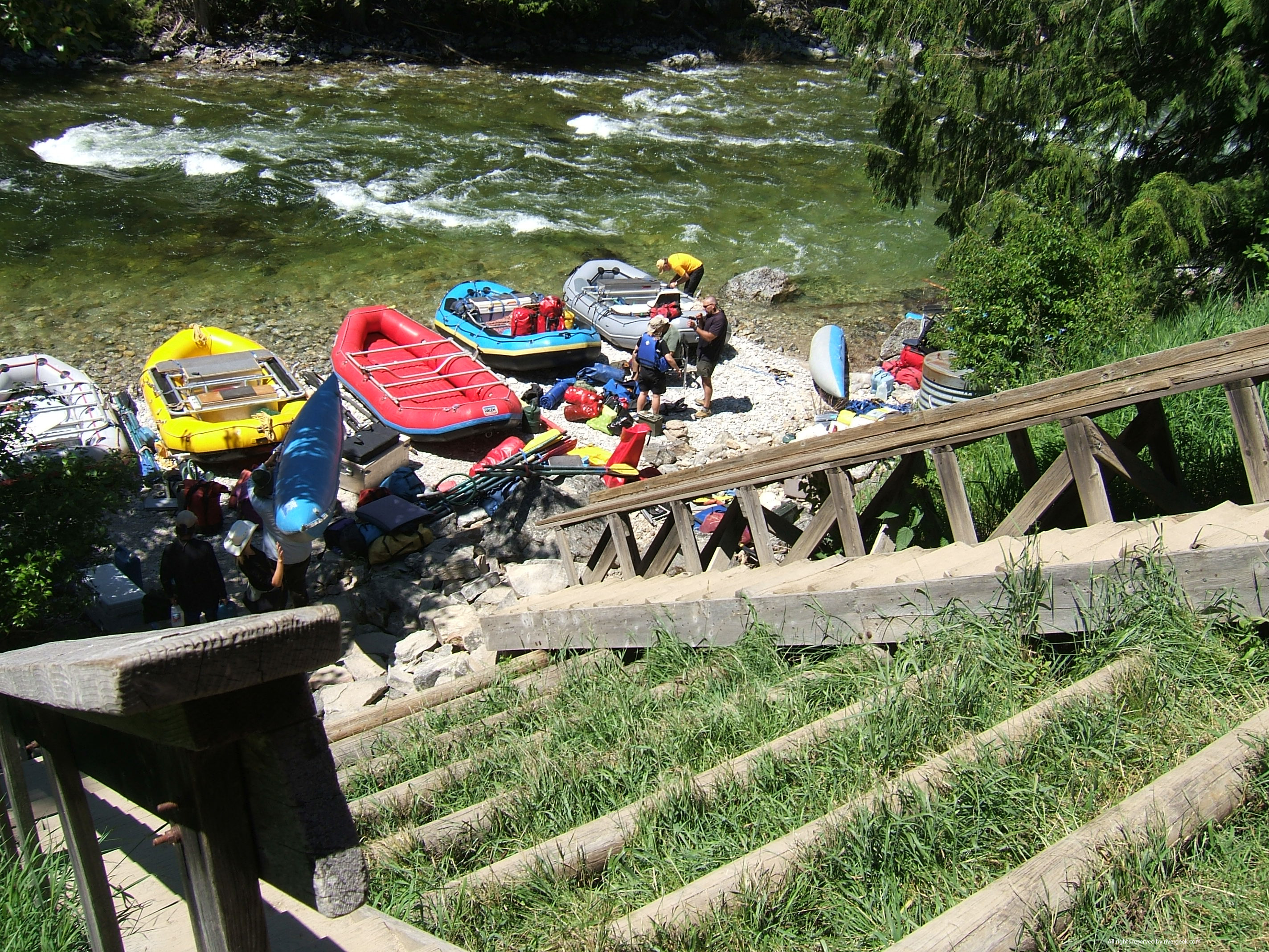
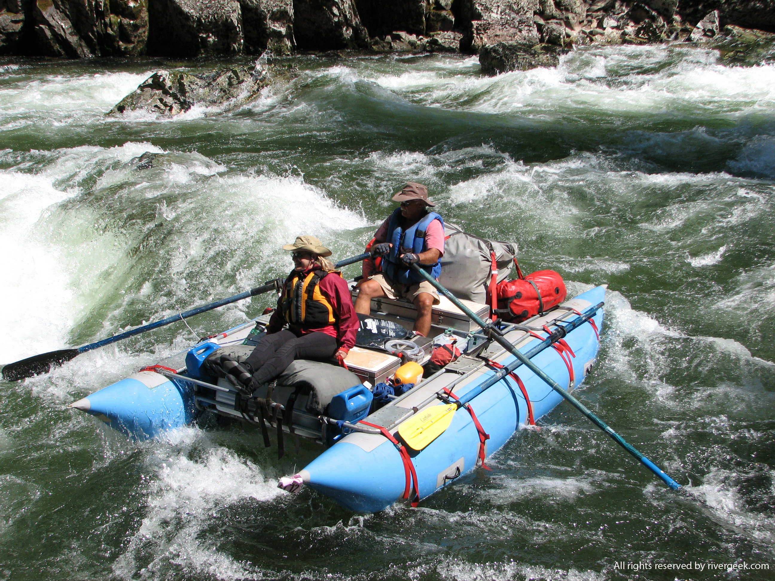
Selway (406) 821-3269 NEW! Note important changes in the Four Rivers Lottery! Apply for Four Rivers Permits at www.recreation.gov (Registration/profile required) Idaho Whitewater Assoc. The Selway can be one of the most challenging whitewater rivers in the United States and it's probably THE toughest for which to get a permit. From Paradise Guard Station to Selway Falls the river drops for 46 miles an average of 28 feet per mile creating a most technical whitewater experience. The many Class IV rapids will challenge any boatman at any level. This river requires a high level of whitewater skill and experience. The number of launches are regulated from May 15 through July 31. Post-season August runs are possible in high-water years. Salmon, Middle Fork (208) 879-4112-application requests Apply for Four Rivers Permits at www.recreation.gov (Registration/profile required) Idaho Whitewater Assoc. Sawtooth Flying Services (for when the MFS is 2.0' or lower). 100 miles of Wild & Scenic river. Lottery applications accepted December 1st through January 31st. One of the most difficult lotteries to win. Salmon, Main Fork (208) 865-2725 - application requests NEW! Note important changes in the Four Rivers Lottery! Apply for Four Rivers Permits at www.recreation.gov (Registration/profile required) Idaho Whitewater Assoc. 125 miles Wild & Scenic River through the Frank Church River of No Return Wilderness; 80 miles permitted Corn Creek to Carey Creek. Lottery applications accepted December 1st through January 31st. Salmon River, Lower (208) 962-3245 50 miles of whitewater all the way to the Snake. Self-permitting at Hammer Creek and Graves Creek. Snake-Hells Canyon (509) 758-1957 Four Rivers Permit Information (NFS) NEW! Note important changes in the Four Rivers Lottery! Apply for Four Rivers Permits at www.recreation.gov (Registration/profile required) Hells Canyon National Recreation Area The Snake River in Hells Canyon National Recreation Area divides Idaho and Oregon, flowing through North America's deepest river canyon. The 67-1/2 miles of Wild & Scenic River corridor passes through Hells Canyon Wilderness over part of its length but is not itself a Wilderness. The river corridor provides both motorized and non-motorized recreation opportunities. The largest rapids are located in the wild section. The Wild Snake has several Class IV rapids with huge hydraulics. The Scenic section offers less challenging Class II to III rapids with beautiful canyon vistas. Launches in the Wild River segment are regulated with reservations required from the Friday before Memorial Day through September 15. Self issue permits are required year long for all other boating. Smith River FWP Smith River Drawing P.O. Box 8009 Helena, MT 59604-8009 (406)454-5861 Fify-nine miles of floating and great angling, the Smith is the only Montana river requiring a permit. Applications can be submitted on-line or via paper beginning in early January thru mid-February. Application fee ($5 non-refundable): MT Residents: $30; Non-residents: $55. Rogue River 50 miles of Wild & Scenic river. Lottery applications are accepted between December 1 and January 31. Tuolumne River and Cherry Creek Tuolumne River Permit Application Groveland Ranger District, Stanislaus NF Applications accepted after January 1, first come basis. Mid-week apps are best bet. Salt River, Upper 402-6200; Fax: 928-402-6292 Apply for permits at www. recreation.gov 52 miles of excellent whitewater from First Campground to
Hwy. 288 bridge. A Wilderness permit for last 32 miles, limiting group size to 15, is
required during the high use season from March 1st through May 15th. Applications accepted
by the USFS, Tonto National Forest from November 15th to January 15th. Day permits are
required by the White Mountain Apache Tribe for use from the bridge to the Wilderness
section: available at the Salt River Canyon Store. Please note that in past years when applying for a Salt River visitor permit the date you requested was your Wilderness entry date (1 or 2 days after your actual launch date). The date you are now requesting is your actual launch date.
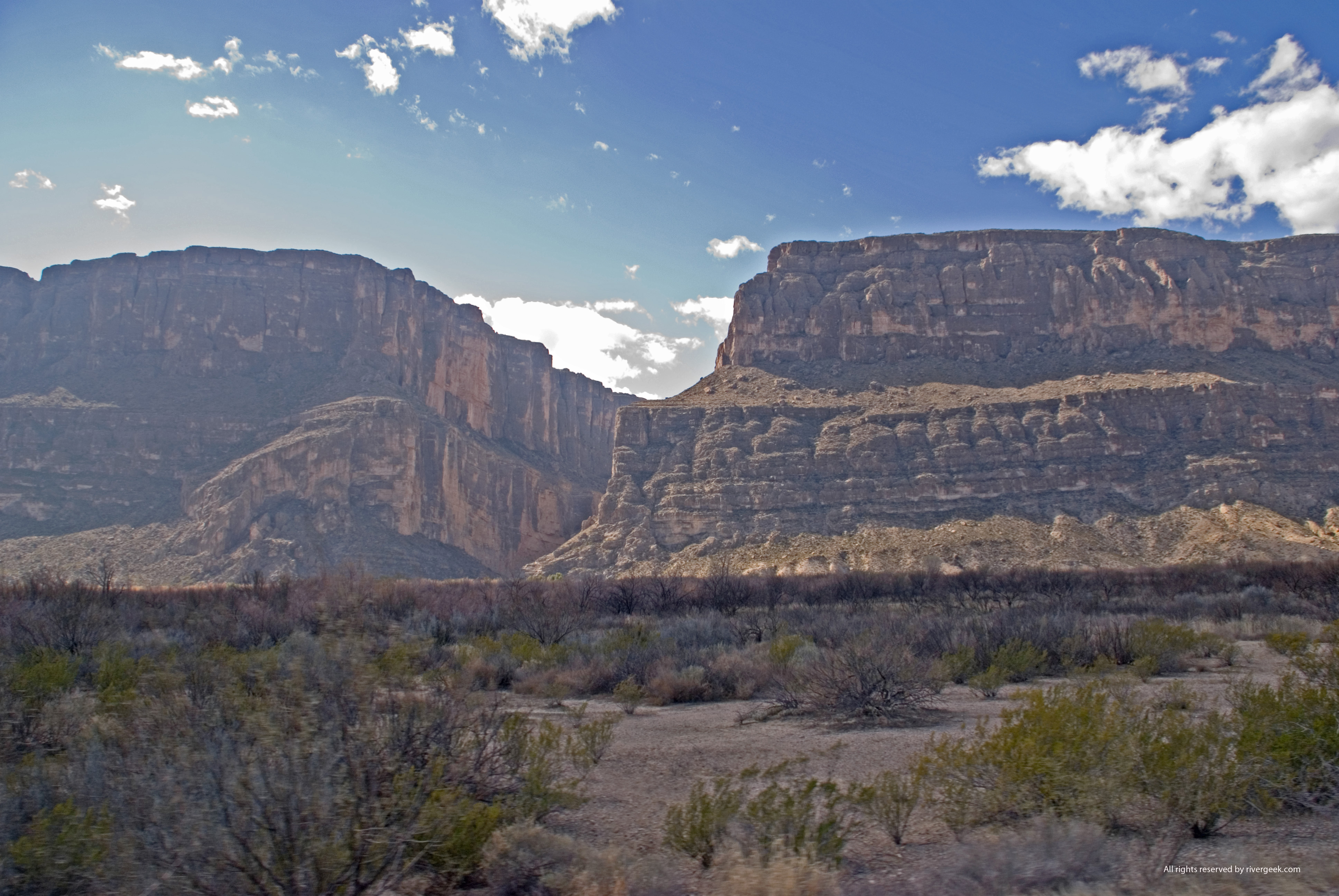
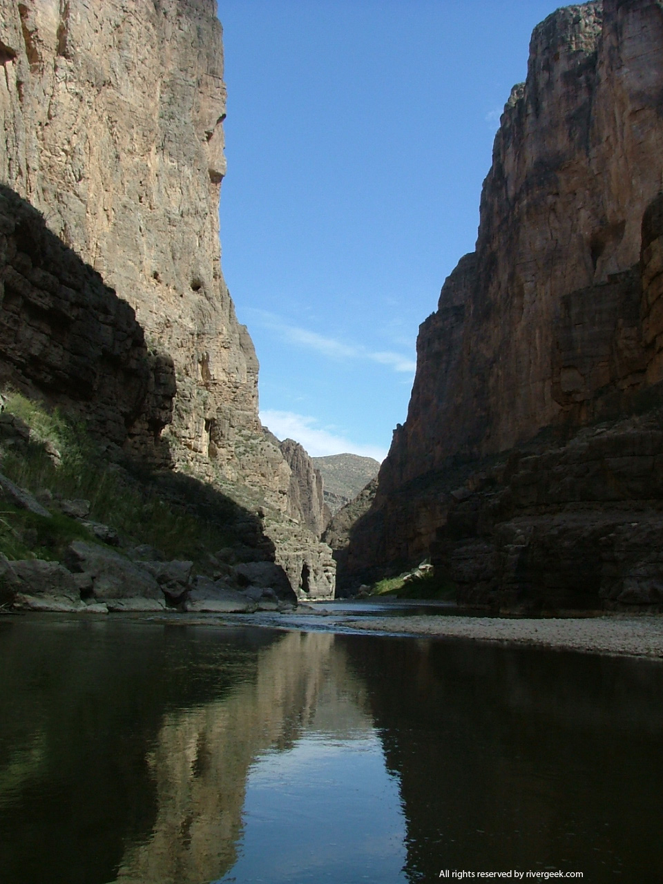
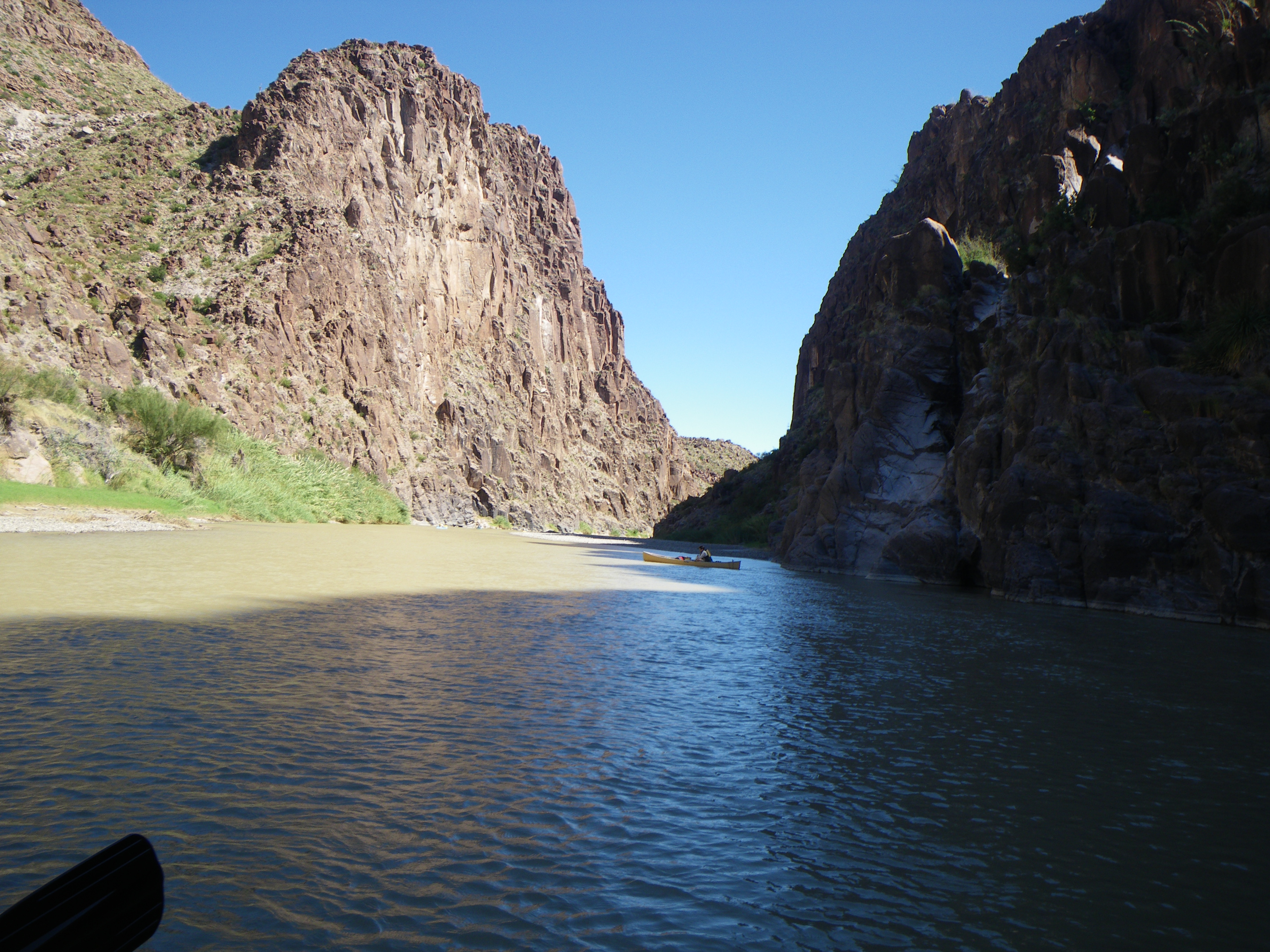
Think snow. Rio Chama (505)758-8851; Fax: (505) 758-1620 Below El Vado Dam to Adobe Ruins/Big Eddy - 31 miles of Class II-III whitewater, partially a National Wild & Scenic River. The river runs through deep mountain canyons and painted New Mexico desert. Applications accepted between December 1 and January 31 for scheduled (but not guaranteed) summer weekend releases. No permit required on last 8 miles from Chavez Canyon on down (the best whitewater section). Wild -- 19.8 miles; Scenic -- 4.9 miles; Total -- 24.7 miles designated National Wild & Scenic. Rio Grande - Lower Taos Box Canyon Dunn's Bridge to Taos Junction - 17 miles of class III-V whitewater in deep canyons. This is generally a day trip with camping at Taos Junction. Self-issued, non-fee permits at Dunn's Bridge. Normally a very short season, May through June. Rio Grande Wild & Scenic River Rio Grande - Big Bend Canyons and Wild
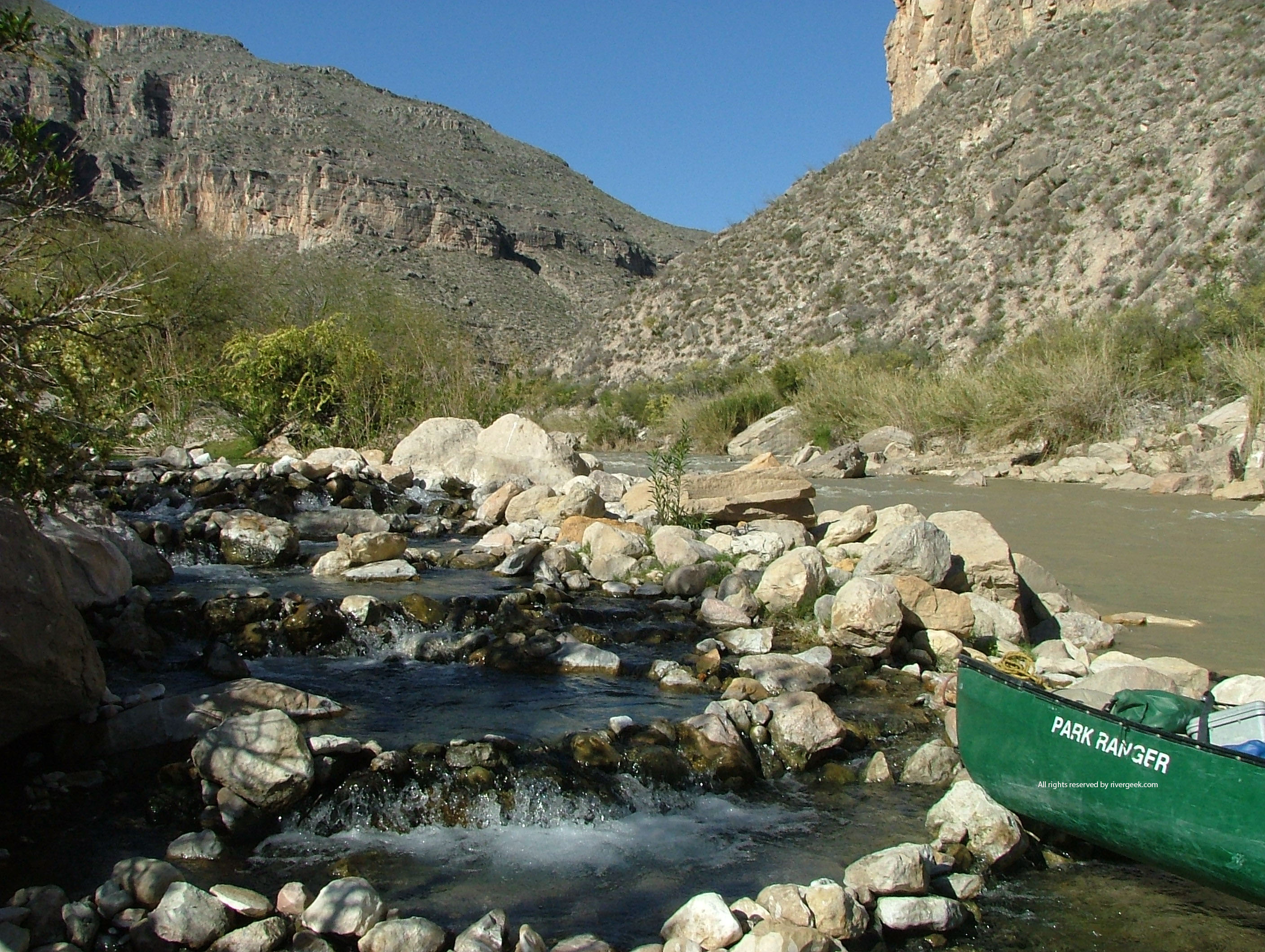
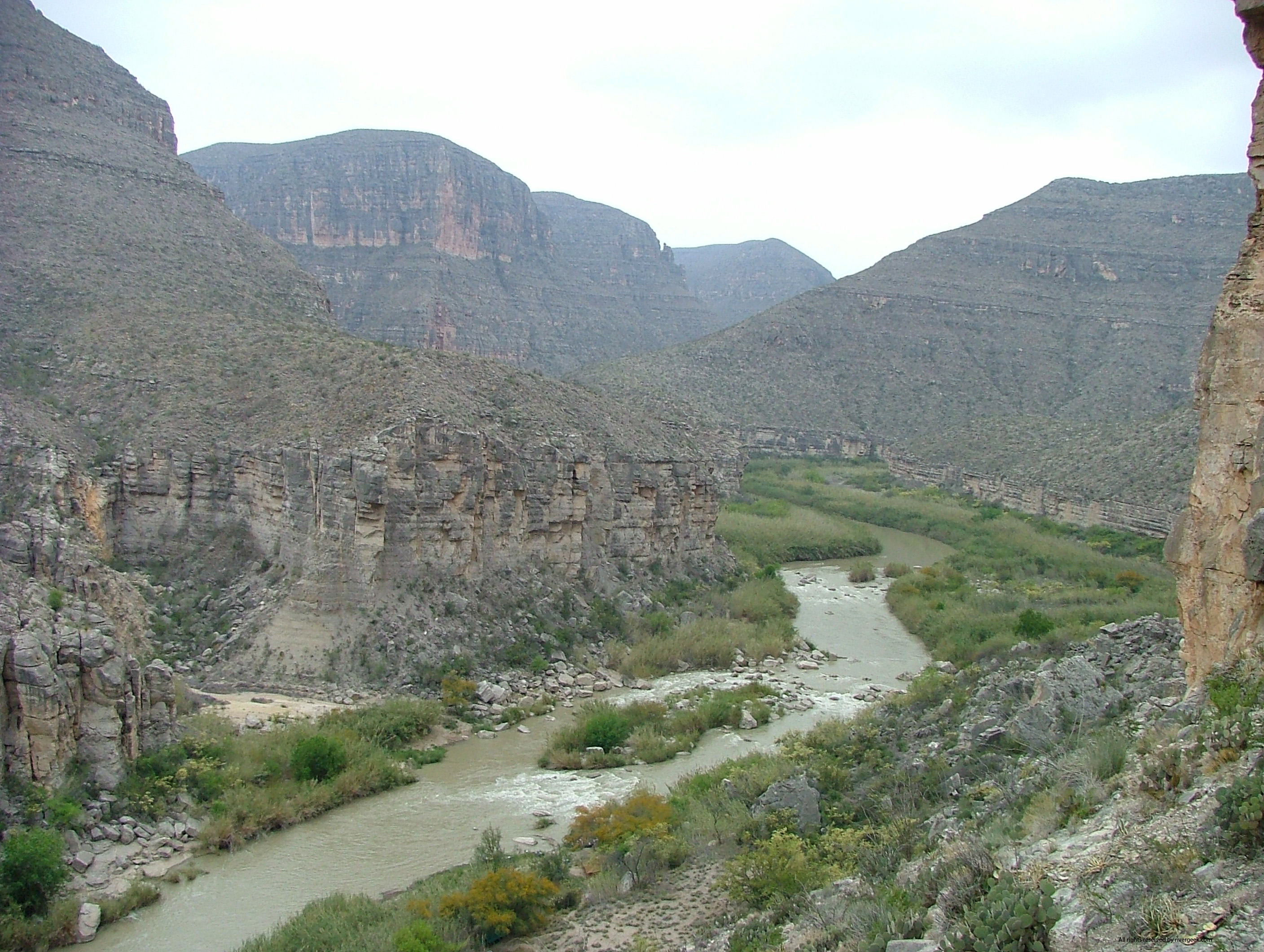
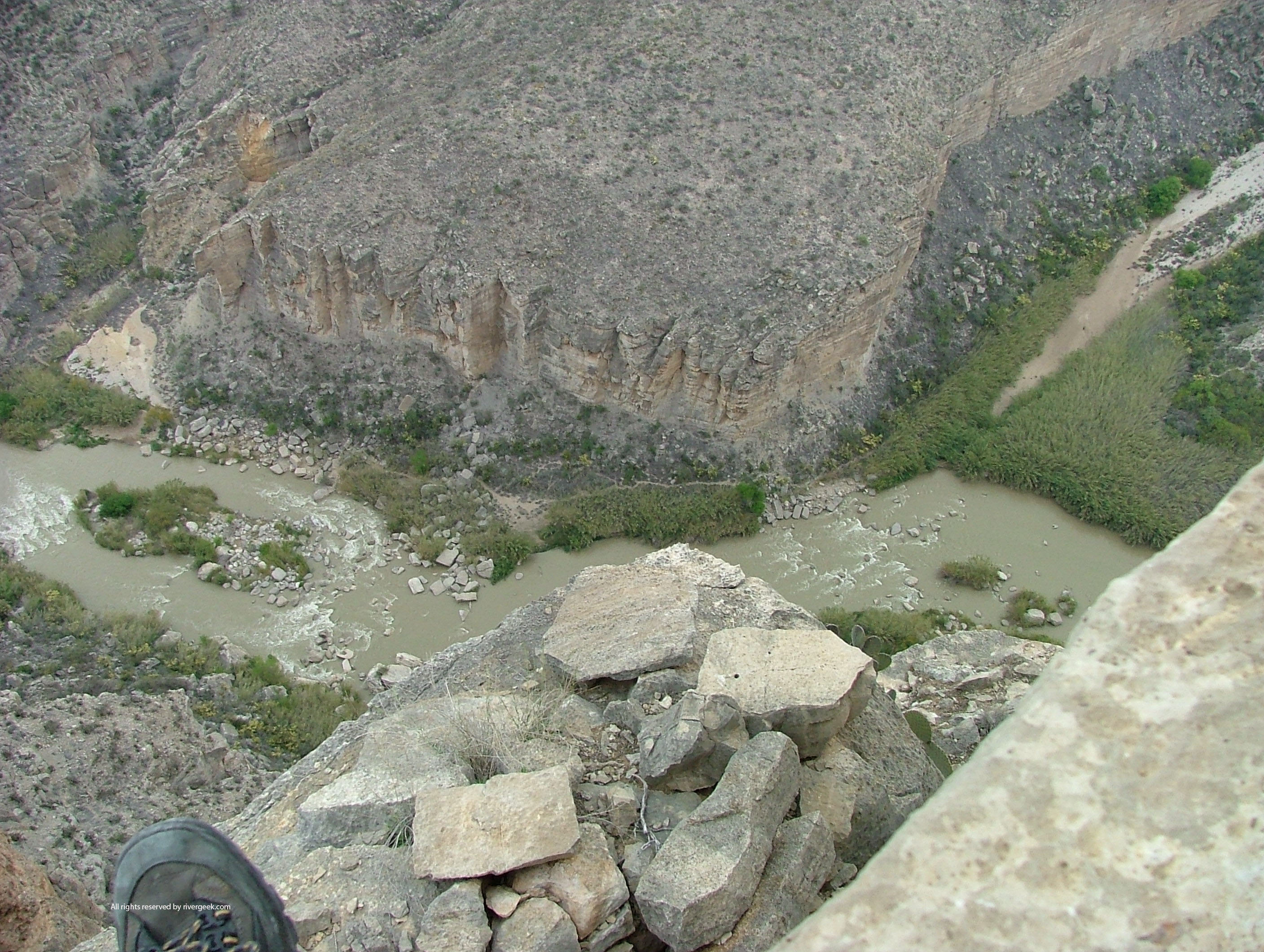
& Scenic River NPS: Big Bend Home
Page / NPS: Big
Bend Daily Report / Far Flung Outdoor Center, Terlingua / Desert Sports, Terlingua Flows: IBWC Rio Grande Gages / IBWC Near Real Time Reports (PDF) / USGS Gage nr Castolon / Big Bend National Park, TX 79834 / (432) 477-2251
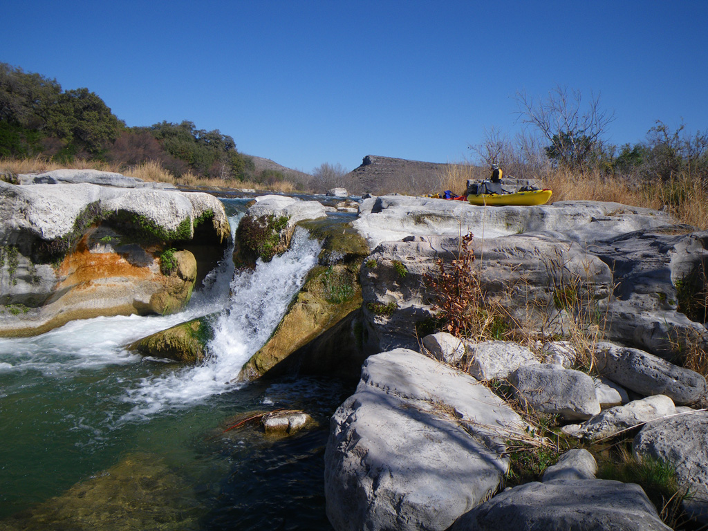
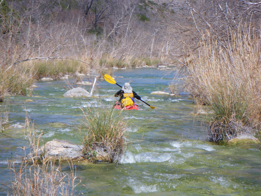
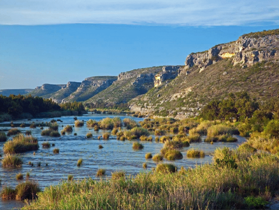
Devils River, Val Verde County, Texas UPDATE: February 2017 TPWD formed the Devils River Working Group in 2011, an advisory board of landowners, paddlers, anglers, outfitters and other stakeholders. The charge of the DRWG was to find common ground between landowners and paddlers and protect the river corridor for the long term. The DRWG submitted its recommendations to TPWD Commissioners in January, 2012. The Devils River SNA completed the pilot permit program (DRAP) in 2013. The Devils River Working Group II met several times and completed the DRWG II Action Plan in July 2014. As of March 1, 2017, two paddle-up camps at miles 12 and 20 are added. DO NOT TRESPASS! DO NOT LITTER! CARRY OUT ALL HUMAN WASTE! Devils River NWS River Forecast Center Devils River IBWC Gages (CMS x 35.3 = CFS) TPWD - Devils River State Natural Area Web Page "Undammed & Unforgiving" Joe Nick Patoski 2002 TPWD Texas River Guide: "If A River Runs Through It, What law Applies?" |
|
|
|
|


